Ponthir Road approaches Caerleon boundary sign
Introduction
The photograph on this page of Ponthir Road approaches Caerleon boundary sign by Jaggery as part of the Geograph project.
The Geograph project started in 2005 with the aim of publishing, organising and preserving representative images for every square kilometre of Great Britain, Ireland and the Isle of Man.

There are currently over 7.5m images from over 14,400 individuals and you can help contribute to the project by visiting https://www.geograph.org.uk
Ponthir Road approaches Caerleon boundary sign
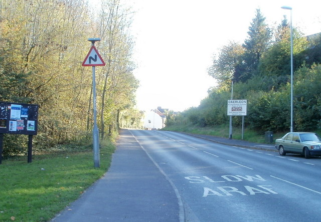
Image: © Jaggery Taken: 17 Oct 2010
The view south along Ponthir Road, from the corner of Forge Close. http://www.geograph.org.uk/photo/2124722 I doubt the accuracy of the placement of the sign, since Forge Close, and various business premises behind the camera, are all shown in reference works as being in Caerleon, not Ponthir.
Images are licensed for reuse under creativecommons.org/licenses/by-sa/2.0
Image Location
Latitude
51.617491
Longitude
-2.960443