Chain Road and the junction with Minnipool Brae
Introduction
The photograph on this page of Chain Road and the junction with Minnipool Brae by Ann Cook as part of the Geograph project.
The Geograph project started in 2005 with the aim of publishing, organising and preserving representative images for every square kilometre of Great Britain, Ireland and the Isle of Man.

There are currently over 7.5m images from over 14,400 individuals and you can help contribute to the project by visiting https://www.geograph.org.uk
Chain Road and the junction with Minnipool Brae
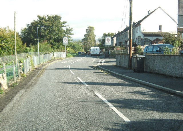
Image: © Ann Cook Taken: 30 Sep 2010
The 20 mile per hour speed restriction signs mark the nearness of the school which is just a little further down the road.
Images are licensed for reuse under creativecommons.org/licenses/by-sa/2.0
Image Location
Latitude
54.903452
Longitude
-4.375443