High Street, Creetown
Introduction
The photograph on this page of High Street, Creetown by Ann Cook as part of the Geograph project.
The Geograph project started in 2005 with the aim of publishing, organising and preserving representative images for every square kilometre of Great Britain, Ireland and the Isle of Man.

There are currently over 7.5m images from over 14,400 individuals and you can help contribute to the project by visiting https://www.geograph.org.uk
High Street, Creetown
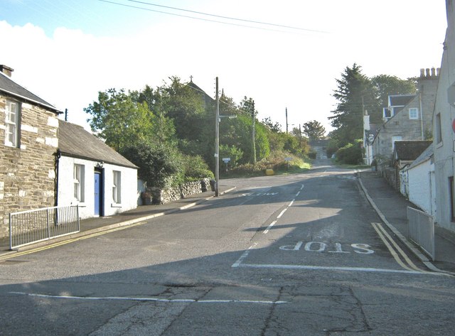
Image: © Ann Cook Taken: 30 Sep 2010
This view is looking up the street from St John's Street. High Street continues straight ahead and, as the road turns to the left, it becomes Minnipool Place.
Images are licensed for reuse under creativecommons.org/licenses/by-sa/2.0
Image Location
Latitude
54.901245
Longitude
-4.377965