The By Brook
Introduction
The photograph on this page of The By Brook by Sharon Loxton as part of the Geograph project.
The Geograph project started in 2005 with the aim of publishing, organising and preserving representative images for every square kilometre of Great Britain, Ireland and the Isle of Man.

There are currently over 7.5m images from over 14,400 individuals and you can help contribute to the project by visiting https://www.geograph.org.uk
The By Brook
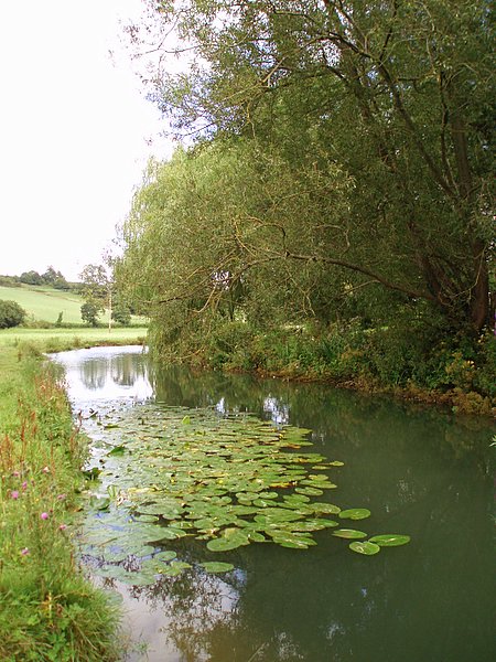
Image: © Sharon Loxton Taken: 30 Jul 2006
The By Brook flows in a south-easterly direction until it joins the river Avon at Bathford, on the outskirts of Bath. In spite of the dry weather, the brook appeared to be very full.
Images are licensed for reuse under creativecommons.org/licenses/by-sa/2.0
Image Location


Leaflet Map data © OpenStreetMap
Latitude
51.421544
Longitude
-2.250189