Langholm Rugby Football Ground
Introduction
The photograph on this page of Langholm Rugby Football Ground by Walter Baxter as part of the Geograph project.
The Geograph project started in 2005 with the aim of publishing, organising and preserving representative images for every square kilometre of Great Britain, Ireland and the Isle of Man.

There are currently over 7.5m images from over 14,400 individuals and you can help contribute to the project by visiting https://www.geograph.org.uk
Langholm Rugby Football Ground
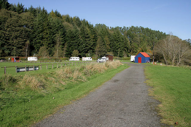
Image: © Walter Baxter Taken: 20 Oct 2010
This access road is on the northeast side of the main pitch with a storage shed on the right Image] and Ewes Water Caravan and Camping Park in the background.
Images are licensed for reuse under creativecommons.org/licenses/by-sa/2.0
Image Location
Latitude
55.159553
Longitude
-2.998005