Abandoned house
Introduction
The photograph on this page of Abandoned house by Sharon Loxton as part of the Geograph project.
The Geograph project started in 2005 with the aim of publishing, organising and preserving representative images for every square kilometre of Great Britain, Ireland and the Isle of Man.

There are currently over 7.5m images from over 14,400 individuals and you can help contribute to the project by visiting https://www.geograph.org.uk
Abandoned house
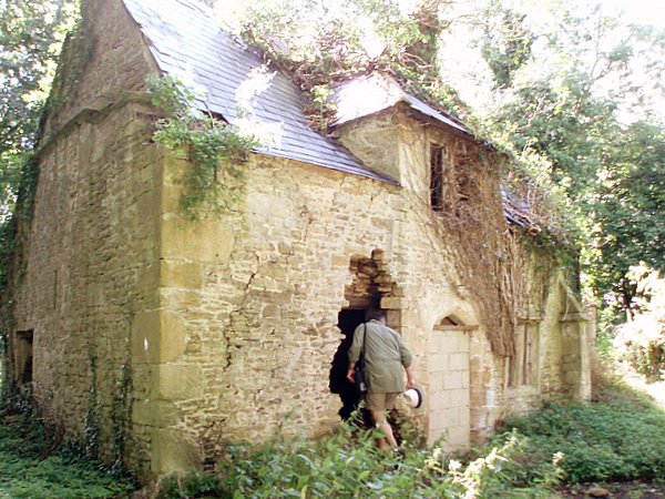
Image: © Sharon Loxton Taken: 30 Jul 2006
The derelict house lies amongst trees beside a bridleway which leads to the hamlet of Blue Vein.
Images are licensed for reuse under creativecommons.org/licenses/by-sa/2.0
Image Location
Latitude
51.404478
Longitude
-2.24147