Alexandra Villas
Introduction
The photograph on this page of Alexandra Villas by Simon Carey as part of the Geograph project.
The Geograph project started in 2005 with the aim of publishing, organising and preserving representative images for every square kilometre of Great Britain, Ireland and the Isle of Man.

There are currently over 7.5m images from over 14,400 individuals and you can help contribute to the project by visiting https://www.geograph.org.uk
Alexandra Villas
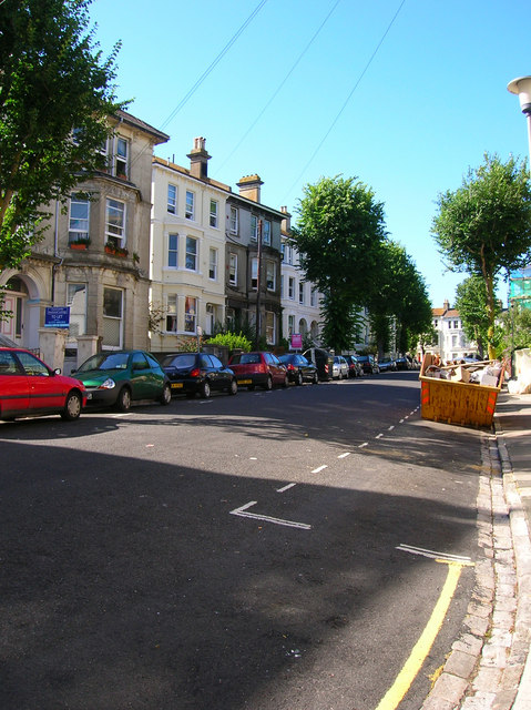
Image: © Simon Carey Taken: 30 Jul 2006
Head east down Buckingham Road then north as the road changes direction before turning west into Leopold Road and then turning north into Alexandra Villas. All these houses were built on the site of the former workhouse and some back gardens still retain walls from the old structure. Click on the link to take you to the next page. http://www.geograph.org.uk/photo/212409
Images are licensed for reuse under creativecommons.org/licenses/by-sa/2.0
Image Location
Latitude
50.827093
Longitude
-0.145616