Dyke Road
Introduction
The photograph on this page of Dyke Road by Simon Carey as part of the Geograph project.
The Geograph project started in 2005 with the aim of publishing, organising and preserving representative images for every square kilometre of Great Britain, Ireland and the Isle of Man.

There are currently over 7.5m images from over 14,400 individuals and you can help contribute to the project by visiting https://www.geograph.org.uk
Dyke Road
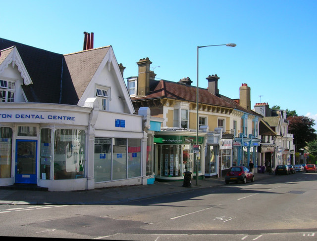
Image: © Simon Carey Taken: 30 Jul 2006
Head north along Clifton Road until the junction of Dyke Road is reached. This district of Brighton is known as Seven Dials due to the number of converging roads that meet ahead. Once a run down district the area is on the up again marked by the opening of small delis and upmarket bars. Click on the link to take you to the next page. http://www.geograph.org.uk/photo/212375
Images are licensed for reuse under creativecommons.org/licenses/by-sa/2.0
Image Location
Latitude
50.828936
Longitude
-0.148383