Clifton Road
Introduction
The photograph on this page of Clifton Road by Simon Carey as part of the Geograph project.
The Geograph project started in 2005 with the aim of publishing, organising and preserving representative images for every square kilometre of Great Britain, Ireland and the Isle of Man.

There are currently over 7.5m images from over 14,400 individuals and you can help contribute to the project by visiting https://www.geograph.org.uk
Clifton Road
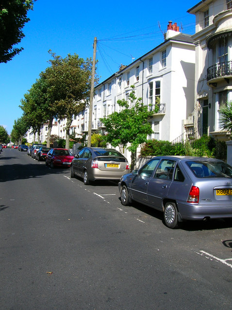
Image: © Simon Carey Taken: 30 Jul 2006
At the northern end of Powis Villas head west down Clifton Hill then turn north into Clifton Road. These were middle class houses built in the late 1850s after the coming of the railway. Still a mixture of family homes and flats today. Click on the link to take you to the next page. http://www.geograph.org.uk/photo/212371
Images are licensed for reuse under creativecommons.org/licenses/by-sa/2.0
Image Location
Latitude
50.828037
Longitude
-0.148419