The road to Hough, and the Red House
Introduction
The photograph on this page of The road to Hough, and the Red House by Stefan Czapski as part of the Geograph project.
The Geograph project started in 2005 with the aim of publishing, organising and preserving representative images for every square kilometre of Great Britain, Ireland and the Isle of Man.

There are currently over 7.5m images from over 14,400 individuals and you can help contribute to the project by visiting https://www.geograph.org.uk
The road to Hough, and the Red House
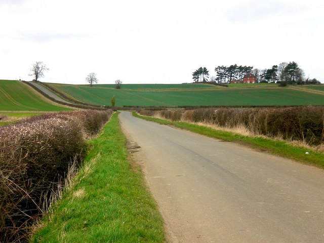
Image: © Stefan Czapski Taken: 14 Mar 2009
The minor road from Barkston here climbs the hill on its way to Hough. On the way it passes the Red House, which stands pretty much at the top of the ridge, and (from the south) can be seen from at least 5 miles away.
Images are licensed for reuse under creativecommons.org/licenses/by-sa/2.0
Image Location
Latitude
52.989437
Longitude
-0.618099