The Parkdale Conservation Area, Wolverhampton
Introduction
The photograph on this page of The Parkdale Conservation Area, Wolverhampton by Roger D Kidd as part of the Geograph project.
The Geograph project started in 2005 with the aim of publishing, organising and preserving representative images for every square kilometre of Great Britain, Ireland and the Isle of Man.

There are currently over 7.5m images from over 14,400 individuals and you can help contribute to the project by visiting https://www.geograph.org.uk
The Parkdale Conservation Area, Wolverhampton
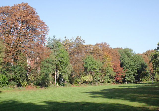
Image: © Roger D Kidd Taken: 13 Oct 2010
This is an attractive well maintained (privately) strip of open land between Park Drive West (and its very up-market housing) and Park Drive east. Dog walking by non-residents is prohibited! It is not a public area, though access is not prevented. The excellent care is provided by the Parkdale Residents' Association.
Images are licensed for reuse under creativecommons.org/licenses/by-sa/2.0
Image Location
Latitude
52.589528
Longitude
-2.147801