Village sign, Stanion
Introduction
The photograph on this page of Village sign, Stanion by Maigheach-gheal as part of the Geograph project.
The Geograph project started in 2005 with the aim of publishing, organising and preserving representative images for every square kilometre of Great Britain, Ireland and the Isle of Man.

There are currently over 7.5m images from over 14,400 individuals and you can help contribute to the project by visiting https://www.geograph.org.uk
Village sign, Stanion
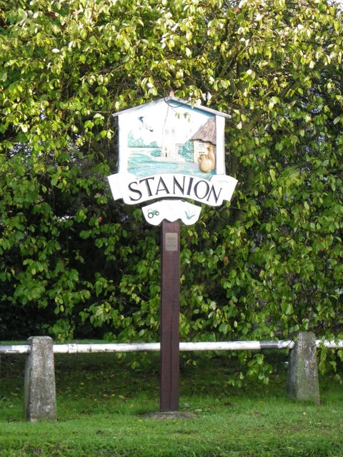
Image: © Maigheach-gheal Taken: 2 Oct 2010
Stanion, previously known as Stanierne or Stanere, has a long connection with stone quarrying and timber and the large imposing church is depicted on the sign.
Images are licensed for reuse under creativecommons.org/licenses/by-sa/2.0
Image Location
Latitude
52.473107
Longitude
-0.654691