Crossroads leading to Lancaster Drive, Gilwern
Introduction
The photograph on this page of Crossroads leading to Lancaster Drive, Gilwern by Jaggery as part of the Geograph project.
The Geograph project started in 2005 with the aim of publishing, organising and preserving representative images for every square kilometre of Great Britain, Ireland and the Isle of Man.

There are currently over 7.5m images from over 14,400 individuals and you can help contribute to the project by visiting https://www.geograph.org.uk
Crossroads leading to Lancaster Drive, Gilwern
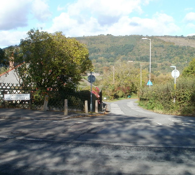
Image: © Jaggery Taken: 20 Oct 2010
There is plenty of scope for confusion here. The road ahead is named Crossroads, viewed from a T junction (not crossroads) with Abergavenny Road. And 150 metres east of here, a cul-de-sac named Cross Roads http://www.geograph.org.uk/photo/2122522 connects with the other side of Abergavenny Road. No doubt it is all perfectly clear to locals...
Images are licensed for reuse under creativecommons.org/licenses/by-sa/2.0
Image Location
Latitude
51.825918
Longitude
-3.083856