Hand Lane
Introduction
The photograph on this page of Hand Lane by Evelyn Simak as part of the Geograph project.
The Geograph project started in 2005 with the aim of publishing, organising and preserving representative images for every square kilometre of Great Britain, Ireland and the Isle of Man.

There are currently over 7.5m images from over 14,400 individuals and you can help contribute to the project by visiting https://www.geograph.org.uk
Hand Lane
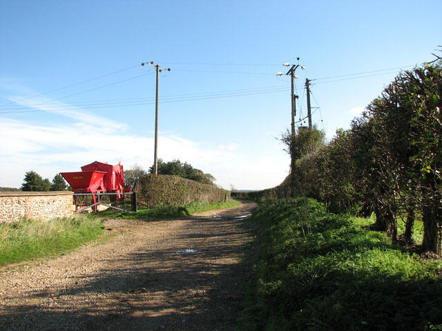
Image: © Evelyn Simak Taken: 21 Oct 2010
Followed in the view direction the track leads to the road which links West and North Barsham, further to the west. For a view of its other end see > http://www.geograph.org.uk/photo/2122143.
Images are licensed for reuse under creativecommons.org/licenses/by-sa/2.0
Image Location
Latitude
52.874771
Longitude
0.817913