Footpath steps, Llangrannog
Introduction
The photograph on this page of Footpath steps, Llangrannog by Maigheach-gheal as part of the Geograph project.
The Geograph project started in 2005 with the aim of publishing, organising and preserving representative images for every square kilometre of Great Britain, Ireland and the Isle of Man.

There are currently over 7.5m images from over 14,400 individuals and you can help contribute to the project by visiting https://www.geograph.org.uk
Footpath steps, Llangrannog
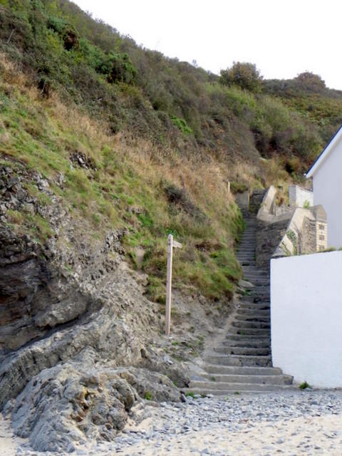
Image: © Maigheach-gheal Taken: 21 Sep 2010
The steps take walkers on the footpath northwards on the Ceredigion Coast Path. The route developed by Ceredigion County Council follows a 60 mile between the Teifi and Dyfi estuaries. The footpath links coastal towns, villages, iron-age hill forts and 19th century harbours.
Images are licensed for reuse under creativecommons.org/licenses/by-sa/2.0
Image Location
Latitude
52.160377
Longitude
-4.469044