Broadmead, Gilwern
Introduction
The photograph on this page of Broadmead, Gilwern by Jaggery as part of the Geograph project.
The Geograph project started in 2005 with the aim of publishing, organising and preserving representative images for every square kilometre of Great Britain, Ireland and the Isle of Man.

There are currently over 7.5m images from over 14,400 individuals and you can help contribute to the project by visiting https://www.geograph.org.uk
Broadmead, Gilwern
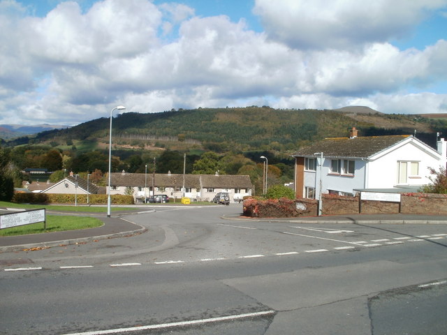
Image: © Jaggery Taken: 20 Oct 2010
Broadmead heads away from the north side of Abergavenny Road. Wide signs on each side of the road show that Broadmead leads to Basildene Close, Llanwenarth View and Brynglas. In the distance is the high ground of Graig forest, with the peak of Pen-y-Graig (about 310 metres elevation) on the right.
Images are licensed for reuse under creativecommons.org/licenses/by-sa/2.0
Image Location
Latitude
51.825851
Longitude
-3.09111