Scots Dike Plantation
Introduction
The photograph on this page of Scots Dike Plantation by Oliver Dixon as part of the Geograph project.
The Geograph project started in 2005 with the aim of publishing, organising and preserving representative images for every square kilometre of Great Britain, Ireland and the Isle of Man.

There are currently over 7.5m images from over 14,400 individuals and you can help contribute to the project by visiting https://www.geograph.org.uk
Scots Dike Plantation
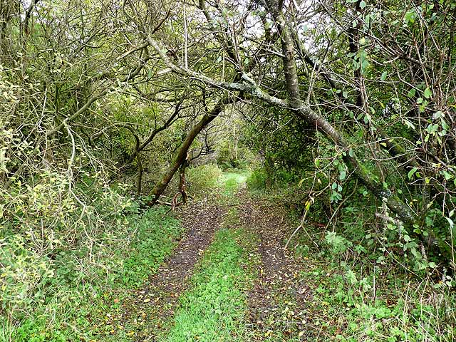
Image: © Oliver Dixon Taken: 19 Oct 2010
The "Debatable Lands" were until the 16th century a lawless area on the Anglo-Scottish border occupied by families of Border Reivers, and beyond the control of either England and Scotland. The dispute between the two countries was finally settled by arbitration by the French Ambassador in 1552 who determined the border along a west-east line linking the Rivers Sark and Esk, leaving a tongue of English territory north of the River Esk. Two parallel ditches were dug to mark the border, and for at least the last 150 years, the Dike has been occupied by an unbroken plantation some 5 kilometres long and 100 metres wide.
Images are licensed for reuse under creativecommons.org/licenses/by-sa/2.0
Image Location
Latitude
55.055571
Longitude
-3.041911