Stone Street - towards Westenhanger
Introduction
The photograph on this page of Stone Street - towards Westenhanger by David Anstiss as part of the Geograph project.
The Geograph project started in 2005 with the aim of publishing, organising and preserving representative images for every square kilometre of Great Britain, Ireland and the Isle of Man.

There are currently over 7.5m images from over 14,400 individuals and you can help contribute to the project by visiting https://www.geograph.org.uk
Stone Street - towards Westenhanger
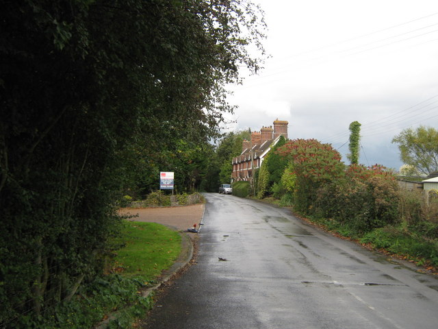
Image: © David Anstiss Taken: 17 Oct 2010
This ancient Roman road leads from the A20 Ashford Road and A261 Hythe Road junction, towards the small village along the road. The road also leads towards Folkestone Race Course and Westenhanger Railway Station. At the station, the road ends due to the High Speed Railway and the M20 Motorway. The route survives as a footbridge connecting to the Sellindge section of Stone Street. In the background are the Little Greys Cottages.
Images are licensed for reuse under creativecommons.org/licenses/by-sa/2.0
Image Location
Latitude
51.087523
Longitude
1.036919