High Storrs Road
Introduction
The photograph on this page of High Storrs Road by Jonathan Clitheroe as part of the Geograph project.
The Geograph project started in 2005 with the aim of publishing, organising and preserving representative images for every square kilometre of Great Britain, Ireland and the Isle of Man.

There are currently over 7.5m images from over 14,400 individuals and you can help contribute to the project by visiting https://www.geograph.org.uk
High Storrs Road
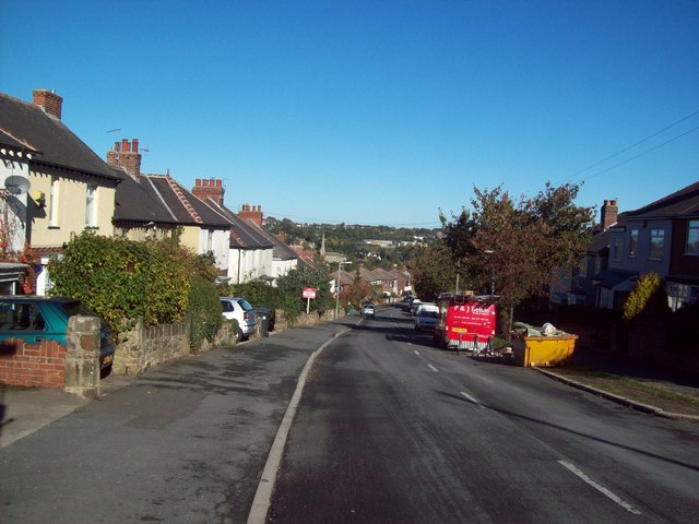
Image: © Jonathan Clitheroe Taken: 20 Oct 2010
Situated in the Greystones area of Sheffield, this road enjoys excellent views both towards the city centre and the Porter Brook valley to the west.
Images are licensed for reuse under creativecommons.org/licenses/by-sa/2.0
Image Location
Latitude
53.362173
Longitude
-1.521217