Church Road
Introduction
The photograph on this page of Church Road by Ian Capper as part of the Geograph project.
The Geograph project started in 2005 with the aim of publishing, organising and preserving representative images for every square kilometre of Great Britain, Ireland and the Isle of Man.

There are currently over 7.5m images from over 14,400 individuals and you can help contribute to the project by visiting https://www.geograph.org.uk
Church Road
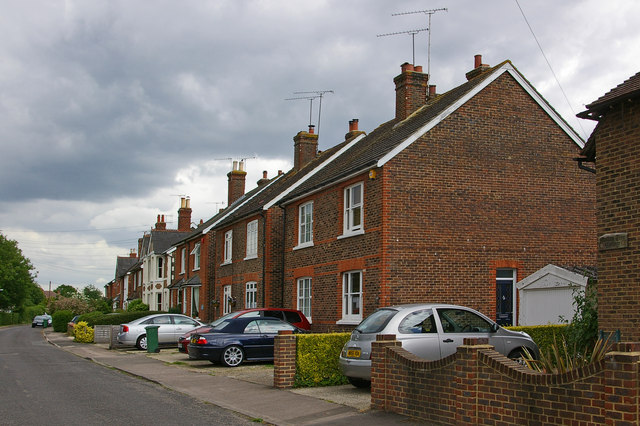
Image: © Ian Capper Taken: 19 Jun 2010
Originally known as The Street, Church Road was split in two when the Brighton Road was realigned in 1816. This section was developed in the late 1880s.
Images are licensed for reuse under creativecommons.org/licenses/by-sa/2.0
Image Location
Latitude
51.170308
Longitude
-0.175197