A30 east of Okehampton
Introduction
The photograph on this page of A30 east of Okehampton by Derek Harper as part of the Geograph project.
The Geograph project started in 2005 with the aim of publishing, organising and preserving representative images for every square kilometre of Great Britain, Ireland and the Isle of Man.

There are currently over 7.5m images from over 14,400 individuals and you can help contribute to the project by visiting https://www.geograph.org.uk
A30 east of Okehampton
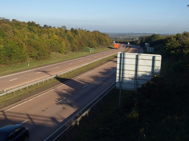
Image: © Derek Harper Taken: 12 Oct 2010
Seen from the bridge visible in Image The large sign facing oncoming traffic gives notice of the turn onto the B3260 into Okehampton and to the services. The green sign reads "Exeter 22".
Images are licensed for reuse under creativecommons.org/licenses/by-sa/2.0
Image Location


Leaflet Map data © OpenStreetMap
Latitude
50.738373
Longitude
-3.950266