Track to Thornton le Dale
Introduction
The photograph on this page of Track to Thornton le Dale by Phil Catterall as part of the Geograph project.
The Geograph project started in 2005 with the aim of publishing, organising and preserving representative images for every square kilometre of Great Britain, Ireland and the Isle of Man.

There are currently over 7.5m images from over 14,400 individuals and you can help contribute to the project by visiting https://www.geograph.org.uk
Track to Thornton le Dale
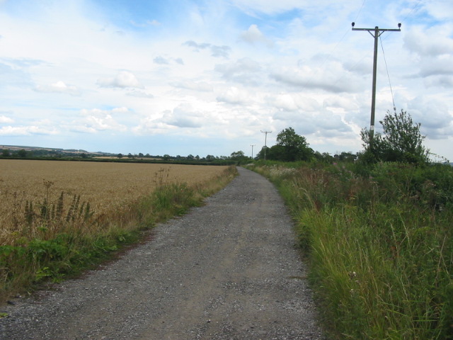
Image: © Phil Catterall Taken: 31 Jul 2006
Rough track between Upper Carr and Thornton le Dale. Suitable for walkers, cyclists, horseriders and tractors.
Images are licensed for reuse under creativecommons.org/licenses/by-sa/2.0
Image Location


Leaflet Map data © OpenStreetMap
Latitude
54.221827
Longitude
-0.758111