Saxon Shore Way on Aldington Road
Introduction
The photograph on this page of Saxon Shore Way on Aldington Road by David Anstiss as part of the Geograph project.
The Geograph project started in 2005 with the aim of publishing, organising and preserving representative images for every square kilometre of Great Britain, Ireland and the Isle of Man.

There are currently over 7.5m images from over 14,400 individuals and you can help contribute to the project by visiting https://www.geograph.org.uk
Saxon Shore Way on Aldington Road
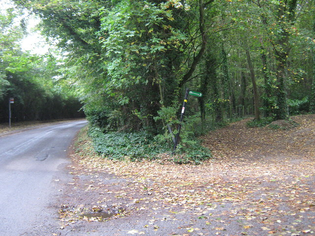
Image: © David Anstiss Taken: 17 Oct 2010
The long distance path turns from the bridleway (through Port Lympne Wild Animal Park), straight on (via a footpath) through a wood beside Lympne Place, heading towards Coombe Farm.
Images are licensed for reuse under creativecommons.org/licenses/by-sa/2.0
Image Location
Latitude
51.07611
Longitude
1.012184