Dwellings on the site of Capel Moriah
Introduction
The photograph on this page of Dwellings on the site of Capel Moriah by Eric Jones as part of the Geograph project.
The Geograph project started in 2005 with the aim of publishing, organising and preserving representative images for every square kilometre of Great Britain, Ireland and the Isle of Man.

There are currently over 7.5m images from over 14,400 individuals and you can help contribute to the project by visiting https://www.geograph.org.uk
Dwellings on the site of Capel Moriah
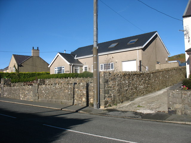
Image: © Eric Jones Taken: 16 Oct 2010
This was a Welsh Congregational chapel. Its demolition was approved in 1997. http://www.gwynedd.gov.uk/swiftlg/imagetemp/1752-28438.jpg
Images are licensed for reuse under creativecommons.org/licenses/by-sa/2.0
Image Location
Latitude
52.96007
Longitude
-4.45006