Housing at Spruce Road, Camp Hill
Introduction
The photograph on this page of Housing at Spruce Road, Camp Hill by Richard Kay as part of the Geograph project.
The Geograph project started in 2005 with the aim of publishing, organising and preserving representative images for every square kilometre of Great Britain, Ireland and the Isle of Man.

There are currently over 7.5m images from over 14,400 individuals and you can help contribute to the project by visiting https://www.geograph.org.uk
Housing at Spruce Road, Camp Hill
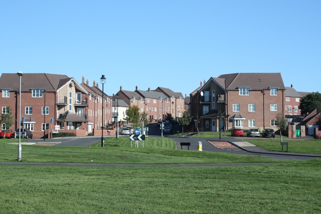
Image: © Richard Kay Taken: 17 Oct 2010
Town houses built during the last 5 years at Camp Hill, Nuneaton. The photo was taken from the green open space, which separates this recent development from the older housing estate in Cedar Road.
Images are licensed for reuse under creativecommons.org/licenses/by-sa/2.0
Image Location
Latitude
52.533002
Longitude
-1.500649