Lane to Knowle Bridge
Introduction
The photograph on this page of Lane to Knowle Bridge by Derek Harper as part of the Geograph project.
The Geograph project started in 2005 with the aim of publishing, organising and preserving representative images for every square kilometre of Great Britain, Ireland and the Isle of Man.

There are currently over 7.5m images from over 14,400 individuals and you can help contribute to the project by visiting https://www.geograph.org.uk
Lane to Knowle Bridge
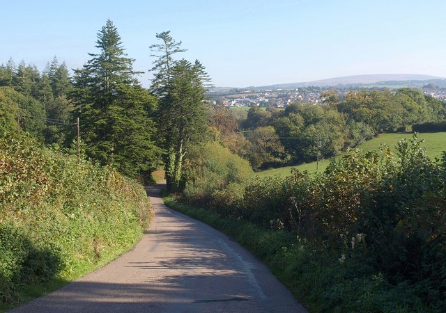
Image: © Derek Harper Taken: 12 Oct 2010
This lane carries the Tarka Trail for about 300 metres from the junction shown in Image down to the turn into Hook Wood.
Images are licensed for reuse under creativecommons.org/licenses/by-sa/2.0
Image Location
Latitude
50.750173
Longitude
-4.002217