Former railway viaduct
Introduction
The photograph on this page of Former railway viaduct by P L Chadwick as part of the Geograph project.
The Geograph project started in 2005 with the aim of publishing, organising and preserving representative images for every square kilometre of Great Britain, Ireland and the Isle of Man.

There are currently over 7.5m images from over 14,400 individuals and you can help contribute to the project by visiting https://www.geograph.org.uk
Former railway viaduct
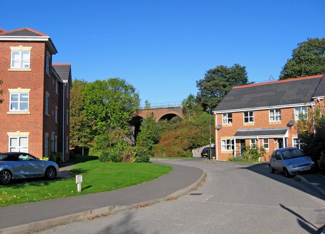
Image: © P L Chadwick Taken: 16 Oct 2010
The former railway viaduct is now part of Leapgate Country Park. It is seen here from the new housing development, which has been built to the south of the viaduct and the former railway embankment.
Images are licensed for reuse under creativecommons.org/licenses/by-sa/2.0
Image Location
Latitude
52.344517
Longitude
-2.264766