The Stell, Kirkcudbright
Introduction
The photograph on this page of The Stell, Kirkcudbright by Ann Cook as part of the Geograph project.
The Geograph project started in 2005 with the aim of publishing, organising and preserving representative images for every square kilometre of Great Britain, Ireland and the Isle of Man.

There are currently over 7.5m images from over 14,400 individuals and you can help contribute to the project by visiting https://www.geograph.org.uk
The Stell, Kirkcudbright
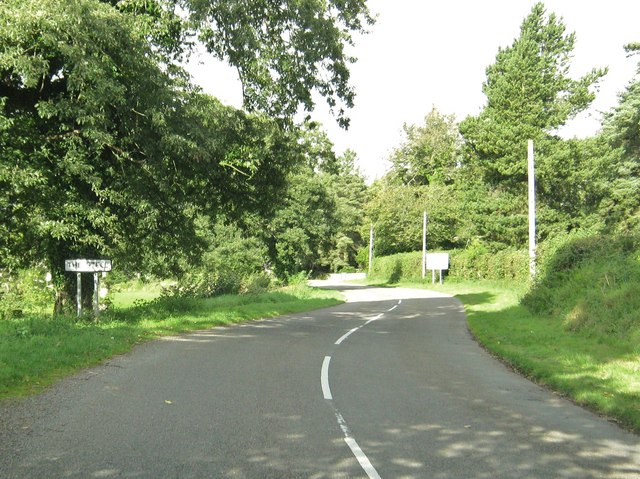
Image: © Ann Cook Taken: 18 Sep 2010
This is the B727 as it passes through an area known as The Stell.
Images are licensed for reuse under creativecommons.org/licenses/by-sa/2.0
Image Location
Latitude
54.843382
Longitude
-4.056818