Mill Road, Okehampton
Introduction
The photograph on this page of Mill Road, Okehampton by Derek Harper as part of the Geograph project.
The Geograph project started in 2005 with the aim of publishing, organising and preserving representative images for every square kilometre of Great Britain, Ireland and the Isle of Man.

There are currently over 7.5m images from over 14,400 individuals and you can help contribute to the project by visiting https://www.geograph.org.uk
Mill Road, Okehampton
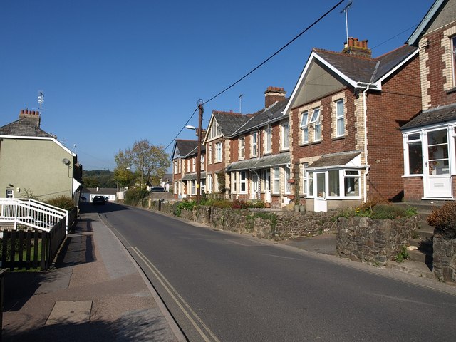
Image: © Derek Harper Taken: 12 Oct 2010
Mill Road performs a loop around the southern side of the town; this is the eastern arm, set above the East Okement River.
Images are licensed for reuse under creativecommons.org/licenses/by-sa/2.0
Image Location
Latitude
50.738534
Longitude
-3.999169