A30 south of Okehampton
Introduction
The photograph on this page of A30 south of Okehampton by Derek Harper as part of the Geograph project.
The Geograph project started in 2005 with the aim of publishing, organising and preserving representative images for every square kilometre of Great Britain, Ireland and the Isle of Man.

There are currently over 7.5m images from over 14,400 individuals and you can help contribute to the project by visiting https://www.geograph.org.uk
A30 south of Okehampton
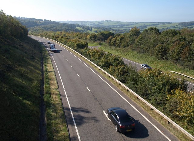
Image: © Derek Harper Taken: 12 Oct 2010
Taken from Image The dual carriageway weaves in and out of valleys on the steep northern edge of the moor. Image shows the same stretch of road.
Images are licensed for reuse under creativecommons.org/licenses/by-sa/2.0
Image Location
Latitude
50.728859
Longitude
-4.002158