Grid Iron wall, Llanymynech quarries
Introduction
The photograph on this page of Grid Iron wall, Llanymynech quarries by Richard Law as part of the Geograph project.
The Geograph project started in 2005 with the aim of publishing, organising and preserving representative images for every square kilometre of Great Britain, Ireland and the Isle of Man.

There are currently over 7.5m images from over 14,400 individuals and you can help contribute to the project by visiting https://www.geograph.org.uk
Grid Iron wall, Llanymynech quarries
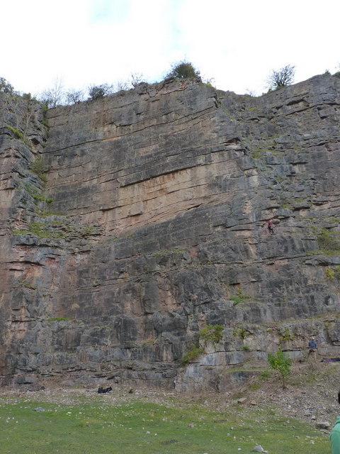
Image: © Richard Law Taken: 16 Oct 2010
One of the steeper and cleaner sections of Llanymynech, Grid Iron wall holds a series of hard routes, well protected by bolts.
Images are licensed for reuse under creativecommons.org/licenses/by-sa/2.0
Image Location
Latitude
52.7895
Longitude
-3.087488