Moorland above Okehampton
Introduction
The photograph on this page of Moorland above Okehampton by Derek Harper as part of the Geograph project.
The Geograph project started in 2005 with the aim of publishing, organising and preserving representative images for every square kilometre of Great Britain, Ireland and the Isle of Man.

There are currently over 7.5m images from over 14,400 individuals and you can help contribute to the project by visiting https://www.geograph.org.uk
Moorland above Okehampton
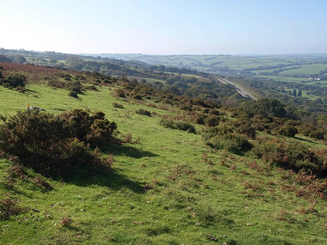
Image: © Derek Harper Taken: 12 Oct 2010
Northwest of the area shown in Image, the slope steepens and becomes more overgrown with gorse and bracken. Below on the right is the A30 dual carriageway bypassing Okehampton.
Images are licensed for reuse under creativecommons.org/licenses/by-sa/2.0
Image Location


Leaflet Map data © OpenStreetMap
Latitude
50.725087
Longitude
-4.001856