Alresford to Winchester Railway
Introduction
The photograph on this page of Alresford to Winchester Railway by don cload as part of the Geograph project.
The Geograph project started in 2005 with the aim of publishing, organising and preserving representative images for every square kilometre of Great Britain, Ireland and the Isle of Man.

There are currently over 7.5m images from over 14,400 individuals and you can help contribute to the project by visiting https://www.geograph.org.uk
Alresford to Winchester Railway
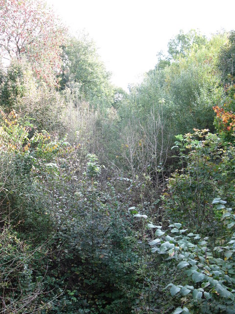
Image: © don cload Taken: 18 Oct 2010
The railway was closed about 40 years ago. It's no wonder that the route of the railway now contains a small forest. This is the view from the New Farm Road bridge.
Images are licensed for reuse under creativecommons.org/licenses/by-sa/2.0
Image Location
Latitude
51.086391
Longitude
-1.176001