Windlesham Gardens
Introduction
The photograph on this page of Windlesham Gardens by Simon Carey as part of the Geograph project.
The Geograph project started in 2005 with the aim of publishing, organising and preserving representative images for every square kilometre of Great Britain, Ireland and the Isle of Man.

There are currently over 7.5m images from over 14,400 individuals and you can help contribute to the project by visiting https://www.geograph.org.uk
Windlesham Gardens
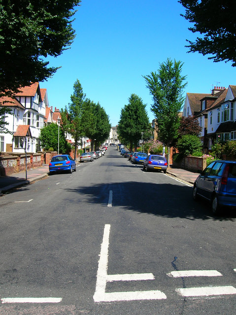
Image: © Simon Carey Taken: 30 Jul 2006
Continue eastwards along Osmond Road until it changes into Windlesham Avenue and you reach a crossroads with Windlesham Road to the south and Gardens to the north. This area was built up in the early twentieth century to no one architectural style though mock tudor was popular. Click on the link to take you to the next page. http://www.geograph.org.uk/photo/211807
Images are licensed for reuse under creativecommons.org/licenses/by-sa/2.0
Image Location
Latitude
50.828981
Longitude
-0.151221