St John's Gardens
Introduction
The photograph on this page of St John's Gardens by Marathon as part of the Geograph project.
The Geograph project started in 2005 with the aim of publishing, organising and preserving representative images for every square kilometre of Great Britain, Ireland and the Isle of Man.

There are currently over 7.5m images from over 14,400 individuals and you can help contribute to the project by visiting https://www.geograph.org.uk
St John's Gardens
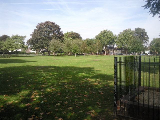
Image: © Marathon Taken: 22 Sep 2010
This view looks across the park from near St John's Road. An old pump is within the railings on the right. The houses in the distance are in Linkfield Road.
Images are licensed for reuse under creativecommons.org/licenses/by-sa/2.0
Image Location
Latitude
51.471991
Longitude
-0.331824