Dorcas Farm Fields
Introduction
The photograph on this page of Dorcas Farm Fields by Mr Biz as part of the Geograph project.
The Geograph project started in 2005 with the aim of publishing, organising and preserving representative images for every square kilometre of Great Britain, Ireland and the Isle of Man.

There are currently over 7.5m images from over 14,400 individuals and you can help contribute to the project by visiting https://www.geograph.org.uk
Dorcas Farm Fields
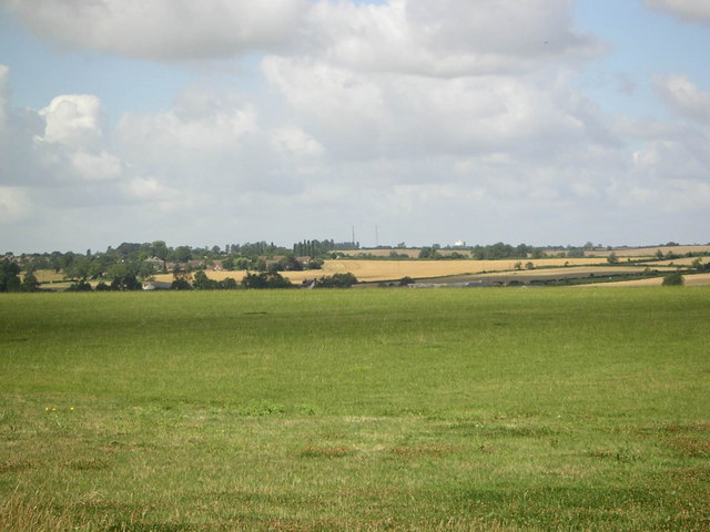
Image: © Mr Biz Taken: 30 Jul 2006
The view over a gate of the fields to the south of Dorcas Farm; in the distance are the villages of Drayton Parslow and Mursley, with the radio masts and water tower just visible from the photo.
Images are licensed for reuse under creativecommons.org/licenses/by-sa/2.0
Image Location
Latitude
51.951891
Longitude
-0.744221