Dorcas Lane, Stoke Hammond
Introduction
The photograph on this page of Dorcas Lane, Stoke Hammond by Mr Biz as part of the Geograph project.
The Geograph project started in 2005 with the aim of publishing, organising and preserving representative images for every square kilometre of Great Britain, Ireland and the Isle of Man.

There are currently over 7.5m images from over 14,400 individuals and you can help contribute to the project by visiting https://www.geograph.org.uk
Dorcas Lane, Stoke Hammond
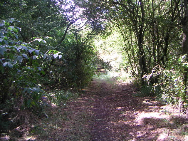
Image: © Mr Biz Taken: 30 Jul 2006
About 20ft in from where the road finishes and the footpath begins, this is a view of Dorcas Lane
Images are licensed for reuse under creativecommons.org/licenses/by-sa/2.0
Image Location
Latitude
51.950976
Longitude
-0.742791