Mill Road and the River Stour, looking south
Introduction
The photograph on this page of Mill Road and the River Stour, looking south by P L Chadwick as part of the Geograph project.
The Geograph project started in 2005 with the aim of publishing, organising and preserving representative images for every square kilometre of Great Britain, Ireland and the Isle of Man.

There are currently over 7.5m images from over 14,400 individuals and you can help contribute to the project by visiting https://www.geograph.org.uk
Mill Road and the River Stour, looking south
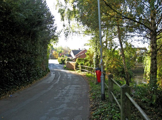
Image: © P L Chadwick Taken: 16 Oct 2010
Looking towards the junction with Hartlebury Road, which can be seen in the distance. On the right, in this view, the River Stour can be seen. It is on its way to meet the River Severn, which it discharges into. Image Image
Images are licensed for reuse under creativecommons.org/licenses/by-sa/2.0
Image Location
Latitude
52.341196
Longitude
-2.262398