Close-up of Bobbing Village Sign
Introduction
The photograph on this page of Close-up of Bobbing Village Sign by David Anstiss as part of the Geograph project.
The Geograph project started in 2005 with the aim of publishing, organising and preserving representative images for every square kilometre of Great Britain, Ireland and the Isle of Man.

There are currently over 7.5m images from over 14,400 individuals and you can help contribute to the project by visiting https://www.geograph.org.uk
Close-up of Bobbing Village Sign
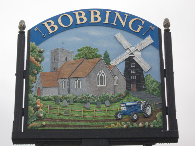
Image: © David Anstiss Taken: 16 Oct 2010
Just seen in Image This attractive sign shows Image and church yard, a blue tractor and a windmill and decorated with oak leaves and acorns. Which also feature on the tops of the posts supporting the sign.
Images are licensed for reuse under creativecommons.org/licenses/by-sa/2.0
Image Location
Latitude
51.352234
Longitude
0.706942