Hayland Farm
Introduction
The photograph on this page of Hayland Farm by Robin Webster as part of the Geograph project.
The Geograph project started in 2005 with the aim of publishing, organising and preserving representative images for every square kilometre of Great Britain, Ireland and the Isle of Man.

There are currently over 7.5m images from over 14,400 individuals and you can help contribute to the project by visiting https://www.geograph.org.uk
Hayland Farm
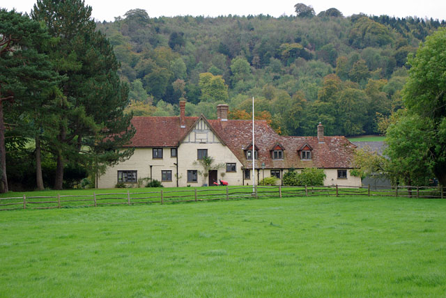
Image: © Robin Webster Taken: 13 Oct 2010
The backdrop is the South Downs, which are continuously wooded for some miles in this area.
Images are licensed for reuse under creativecommons.org/licenses/by-sa/2.0
Image Location
Latitude
50.946754
Longitude
-0.702311