St. Laurence, Upton
Introduction
The photograph on this page of St. Laurence, Upton by Jonathan Thacker as part of the Geograph project.
The Geograph project started in 2005 with the aim of publishing, organising and preserving representative images for every square kilometre of Great Britain, Ireland and the Isle of Man.

There are currently over 7.5m images from over 14,400 individuals and you can help contribute to the project by visiting https://www.geograph.org.uk
St. Laurence, Upton
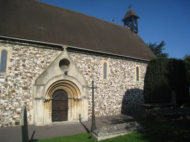
Image: © Jonathan Thacker Taken: 11 Oct 2010
The south doorway. The South Aisle was added in 1850 and re-uses several original Norman features.
Images are licensed for reuse under creativecommons.org/licenses/by-sa/2.0
Image Location
Latitude
51.502071
Longitude
-0.588773