2010 : Cattle feeder in field west of Day's Lane
Introduction
The photograph on this page of 2010 : Cattle feeder in field west of Day's Lane by Maurice Pullin as part of the Geograph project.
The Geograph project started in 2005 with the aim of publishing, organising and preserving representative images for every square kilometre of Great Britain, Ireland and the Isle of Man.

There are currently over 7.5m images from over 14,400 individuals and you can help contribute to the project by visiting https://www.geograph.org.uk
2010 : Cattle feeder in field west of Day's Lane
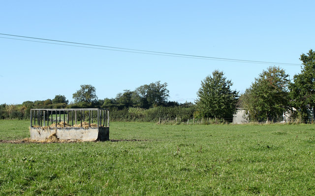
Image: © Maurice Pullin Taken: 4 Oct 2010
The shed or small building to the right is marked "Henleys" on OS Explorer 156.
Images are licensed for reuse under creativecommons.org/licenses/by-sa/2.0
Image Location
Latitude
51.507167
Longitude
-2.122135