North Downs Way above Peene
Introduction
The photograph on this page of North Downs Way above Peene by Marathon as part of the Geograph project.
The Geograph project started in 2005 with the aim of publishing, organising and preserving representative images for every square kilometre of Great Britain, Ireland and the Isle of Man.

There are currently over 7.5m images from over 14,400 individuals and you can help contribute to the project by visiting https://www.geograph.org.uk
North Downs Way above Peene
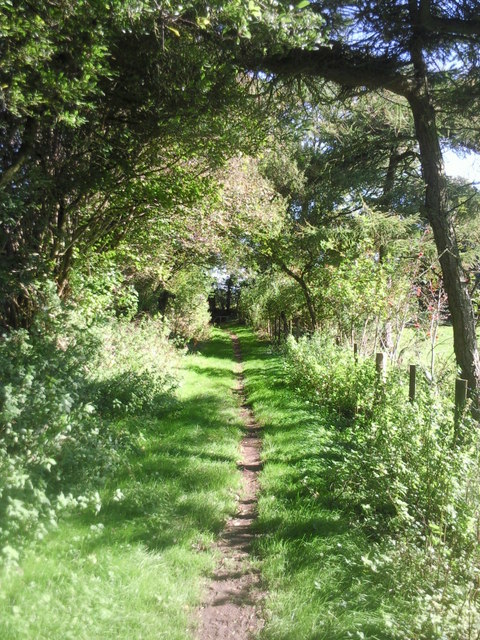
Image: © Marathon Taken: 11 Oct 2010
This pleasant woodland edge path is part of the North Downs Way. Just ahead it reaches a lane and turns right to head for Peene Quarry Country Park.
Images are licensed for reuse under creativecommons.org/licenses/by-sa/2.0
Image Location
Latitude
51.106532
Longitude
1.124465