Demolished Mill
Introduction
The photograph on this page of Demolished Mill by Ashley Dace as part of the Geograph project.
The Geograph project started in 2005 with the aim of publishing, organising and preserving representative images for every square kilometre of Great Britain, Ireland and the Isle of Man.

There are currently over 7.5m images from over 14,400 individuals and you can help contribute to the project by visiting https://www.geograph.org.uk
Demolished Mill
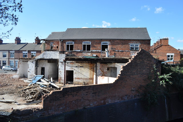
Image: © Ashley Dace Taken: 17 Oct 2010
Sadly I was to late to record this example which has mostly gone. The grand union canal is bottom right.
Images are licensed for reuse under creativecommons.org/licenses/by-sa/2.0
Image Location


Leaflet Map data © OpenStreetMap
Latitude
52.626904
Longitude
-1.14664