Greendale, SE22
Introduction
The photograph on this page of Greendale, SE22 by Malc McDonald as part of the Geograph project.
The Geograph project started in 2005 with the aim of publishing, organising and preserving representative images for every square kilometre of Great Britain, Ireland and the Isle of Man.

There are currently over 7.5m images from over 14,400 individuals and you can help contribute to the project by visiting https://www.geograph.org.uk
Greendale, SE22
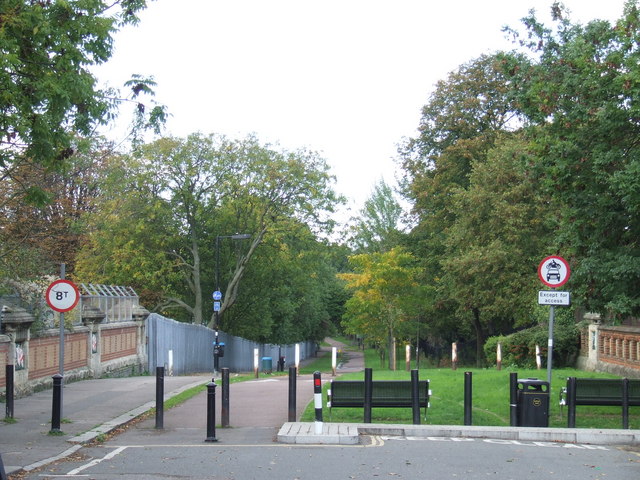
Image: © Malc McDonald Taken: 17 Oct 2010
Greendale, a shared walking and cycling path in East Dulwich. The bridge in the foreground takes the path over a railway line.
Images are licensed for reuse under creativecommons.org/licenses/by-sa/2.0
Image Location
Latitude
51.456971
Longitude
-0.084504