Bridleway to Checkleys Brake
Introduction
The photograph on this page of Bridleway to Checkleys Brake by David P Howard as part of the Geograph project.
The Geograph project started in 2005 with the aim of publishing, organising and preserving representative images for every square kilometre of Great Britain, Ireland and the Isle of Man.

There are currently over 7.5m images from over 14,400 individuals and you can help contribute to the project by visiting https://www.geograph.org.uk
Bridleway to Checkleys Brake
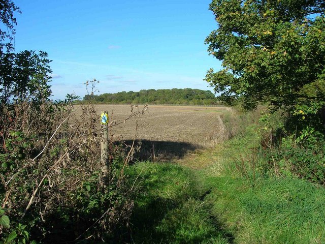
Image: © David P Howard Taken: 17 Oct 2010
Looking north along the bridleway from Lighthorne Heath towards the trees in the distance which are called Checkleys Brake. The building of the M40 motorway has caused this bridleway to turn sharp left along the fenceline in the middle distance, beyond which is the motorway. A farm bridge has been built which also carries the bridleway over the motorway. The noise of the traffic can already be heard quite loudly even at this distance, about 250 metres.
Images are licensed for reuse under creativecommons.org/licenses/by-sa/2.0
Image Location
Latitude
52.204702
Longitude
-1.484874