Park Meadow South
Introduction
The photograph on this page of Park Meadow South by Simon Carey as part of the Geograph project.
The Geograph project started in 2005 with the aim of publishing, organising and preserving representative images for every square kilometre of Great Britain, Ireland and the Isle of Man.

There are currently over 7.5m images from over 14,400 individuals and you can help contribute to the project by visiting https://www.geograph.org.uk
Park Meadow South
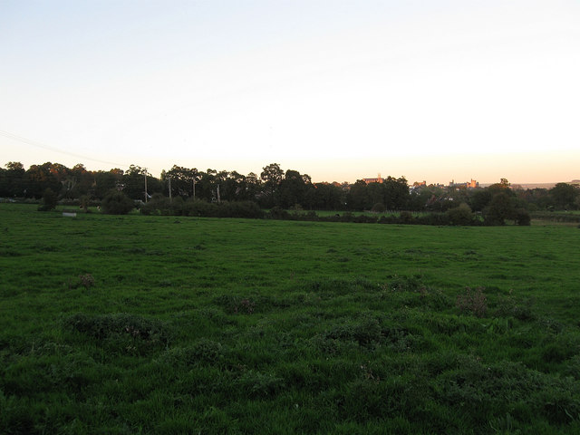
Image: © Simon Carey Taken: 10 Oct 2010
The name of the field according to the 1840 tithe map, Park Meadow North is beyond the hedge in the distance. The sun is too low to illuminate the field though its last rays are still shining on Arundel Castle and the cathedral in the distance.
Images are licensed for reuse under creativecommons.org/licenses/by-sa/2.0
Image Location
Latitude
50.846299
Longitude
-0.571007