Castle Hill Lane, Burley, New Forest
Introduction
The photograph on this page of Castle Hill Lane, Burley, New Forest by Jim Champion as part of the Geograph project.
The Geograph project started in 2005 with the aim of publishing, organising and preserving representative images for every square kilometre of Great Britain, Ireland and the Isle of Man.

There are currently over 7.5m images from over 14,400 individuals and you can help contribute to the project by visiting https://www.geograph.org.uk
Castle Hill Lane, Burley, New Forest
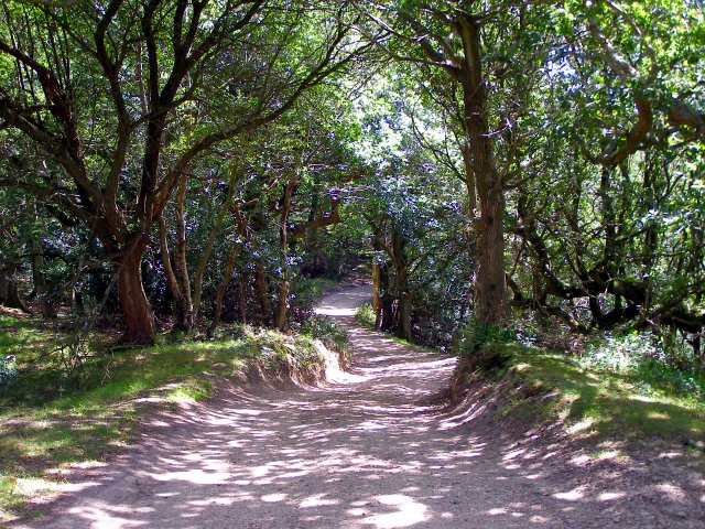
Image: © Jim Champion Taken: 30 Jul 2006
Castle Hill Lane runs roughly north-south along the western edge of the privately owned land at Burley. This view is looking south as you descend from the eponymous castle (a small univallate Iron Age hillfort) towards Black Bush.
Images are licensed for reuse under creativecommons.org/licenses/by-sa/2.0
Image Location
Latitude
50.832498
Longitude
-1.720214