Lower Kiln Copse
Introduction
The photograph on this page of Lower Kiln Copse by Simon Carey as part of the Geograph project.
The Geograph project started in 2005 with the aim of publishing, organising and preserving representative images for every square kilometre of Great Britain, Ireland and the Isle of Man.

There are currently over 7.5m images from over 14,400 individuals and you can help contribute to the project by visiting https://www.geograph.org.uk
Lower Kiln Copse
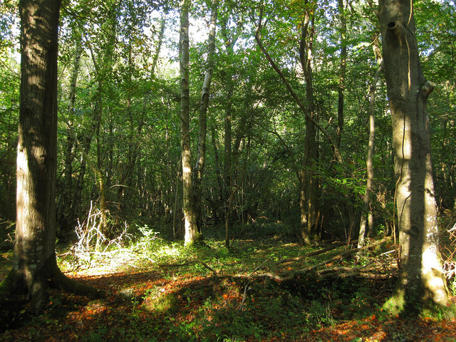
Image: © Simon Carey Taken: 10 Oct 2010
The name of the wood according to the 1838 tithe map which now seems to be part of the area known as Scotland.
Images are licensed for reuse under creativecommons.org/licenses/by-sa/2.0
Image Location
Latitude
50.852515
Longitude
-0.601645