Farmland near Little Langford
Introduction
The photograph on this page of Farmland near Little Langford by Stephen Richards as part of the Geograph project.
The Geograph project started in 2005 with the aim of publishing, organising and preserving representative images for every square kilometre of Great Britain, Ireland and the Isle of Man.

There are currently over 7.5m images from over 14,400 individuals and you can help contribute to the project by visiting https://www.geograph.org.uk
Farmland near Little Langford
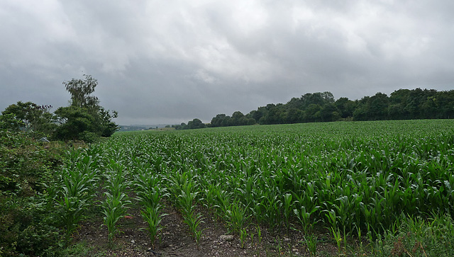
Image: © Stephen Richards Taken: Unknown
This is maize, being grown for winter fodder (thanks to fellow Geographer, Fasgadh). The field lies between the River Wylye on the left and the railway, behind the trees on the right.
Images are licensed for reuse under creativecommons.org/licenses/by-sa/2.0
Image Location
Latitude
51.128476
Longitude
-1.927498